
A property owner receives their property tax notice linked to one municipality, while their mail arrives under the name of another. This situation affects thousands of properties in France, particularly in areas bordering two municipalities or sectors that have undergone recent mergers. Understanding the difference between cadastral and postal addresses helps avoid issues during a sale, a building permit application, or a tax declaration.
Two distinct administrative circuits manage the identification of a property
The cadastral address is linked to a parcel identified by a section and a number, managed by the General Directorate of Public Finances (DGFiP). It is used to locate the property in the cadastral plan, to calculate property tax and housing tax, and to establish land ownership.
The postal address, on the other hand, depends on the municipality and the National Address Database (BAN), the operational reference accessible at adresse.data.gouv.fr. It is the town hall that assigns, modifies, or standardizes a street name and number. The Post Office then relies on this database to deliver mail.
These two systems do not automatically communicate with each other. A municipality can rename a street without the cadastral plan being updated, and conversely, a parcel reorganization in the cadastre does not change the postal address. To better understand this distinction, a detailed article explains the difference between cadastral and postal addresses and the steps to take. This lack of synchronization is the main cause of the inconsistencies observed by property owners.
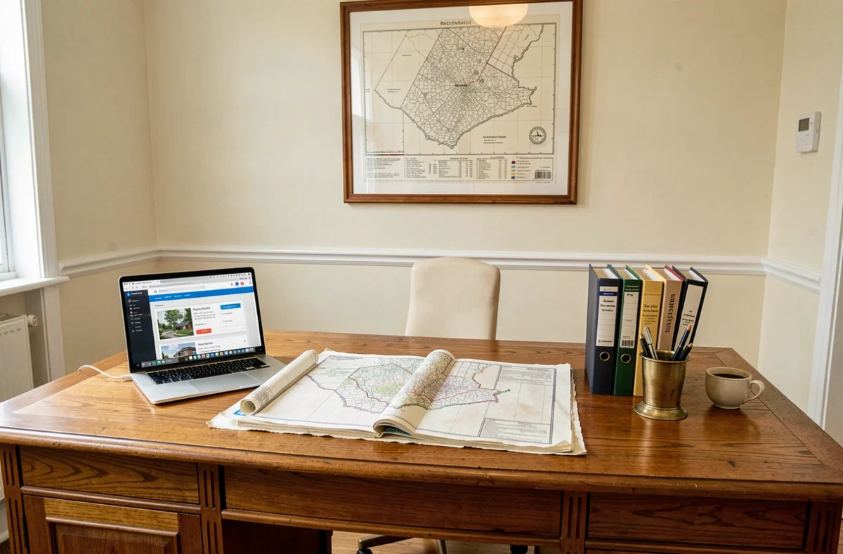
Cadastral parcel and postal address: why the discrepancy occurs
Several mechanisms create a gap between the two addresses. Identifying them helps determine which contact to approach.
- Mergers of municipalities or transfers of cadastral sections between local authorities change the administrative attachment of a parcel without altering postal delivery. Mail continues to arrive under the old municipality name for years.
- Renumbering operations initiated by the town hall to comply with the BAN create a new postal number while the cadastre retains the old reference until an update is reported to the DGFiP.
- Construction on the boundary of a municipality poses a recurring problem: the parcel may be registered in municipality A, while physical access (and thus the postal address) is located on the side of municipality B.
- Data entry errors during the creation of a subdivision or a building permit propagate an incorrect address in one or the other of the systems.
In all these cases, the parcel remains correctly identified by its cadastral reference (section and number). The issue does not concern the geographical location of the property, but its administrative label.
Concrete consequences on taxation and urban planning procedures
A cadastral attachment to one municipality rather than another directly determines the applicable property tax and housing tax rates. The rates voted by each municipal council can vary significantly from one municipality to another, even among neighboring ones. A property owner whose property is registered in the wrong municipality may pay a local tax that does not correspond to their actual attachment.
Building permit forms require both the postal address and cadastral references. If these details do not match, the processing of the application may be slowed down or even suspended while the urban planning department verifies the consistency of the data.
During a sale, the notary compares the mortgage status, the cadastral plan, and the postal address. A discrepancy requires producing additional documents (certificate from the town hall, annotated cadastral plan extract) to secure the authentic deed. This is not a reason for cancellation, but it extends the signing timelines.
Impact on property valuation
The municipal attachment displayed on public databases (notably the land value data, DVF) influences market perception. A property listed in a municipality with lower square meter prices will appear undervalued in automatic estimation tools. Conversely, the actual physical location of the property remains the determining criterion for a buyer who visits and observes nearby services, transport, and the environment.

Correcting a cadastral or postal address: the right contacts
The most common confusion is contacting the cadastre for a postal address issue or the town hall for a parcel attachment error. These two corrections fall under separate circuits.
Error on the postal address (street name, number)
The town hall is the only competent contact. It manages the naming of streets and numbering, then feeds the National Address Database. A written request to the public works or urban planning department is sufficient in most cases. The update in the BAN may then take a few weeks before being reflected at La Poste and with private operators.
Error in parcel attachment in the cadastre
You must contact the cadastre service of the DGFiP, either through the local property tax office or via the online form on impots.gouv.fr. The request must specify the section, parcel number, and the nature of the observed error. Processing takes longer because it involves a technical verification on the cadastral plan.
One point remains underestimated: correcting one does not correct the other. After a merger of municipalities, for example, it may sometimes be necessary to initiate both procedures in parallel to achieve complete consistency between tax documents, the cadastral plan, and the postal address.
Check consistency before a real estate transaction
Before putting a property up for sale or signing a preliminary agreement, three quick checks can help anticipate issues:
- Compare the address on the property tax notice with the one used for mail. If the municipality differs, a regularization will be necessary.
- Consult the cadastral plan online (cadastre.gouv.fr) to confirm that the parcel is indeed attached to the expected municipality, and that the section and number match the notarial documents.
- Verify the address in the National Address Database (adresse.data.gouv.fr) to ensure that the number and street name are well referenced and usable by public services.
These checks take a few minutes and avoid weeks of delays at the time of signing with the notary. Transparency on this point with the buyer strengthens trust and reduces the risk of late renegotiation related to an unexpected administrative discovery.